
Interactive Map
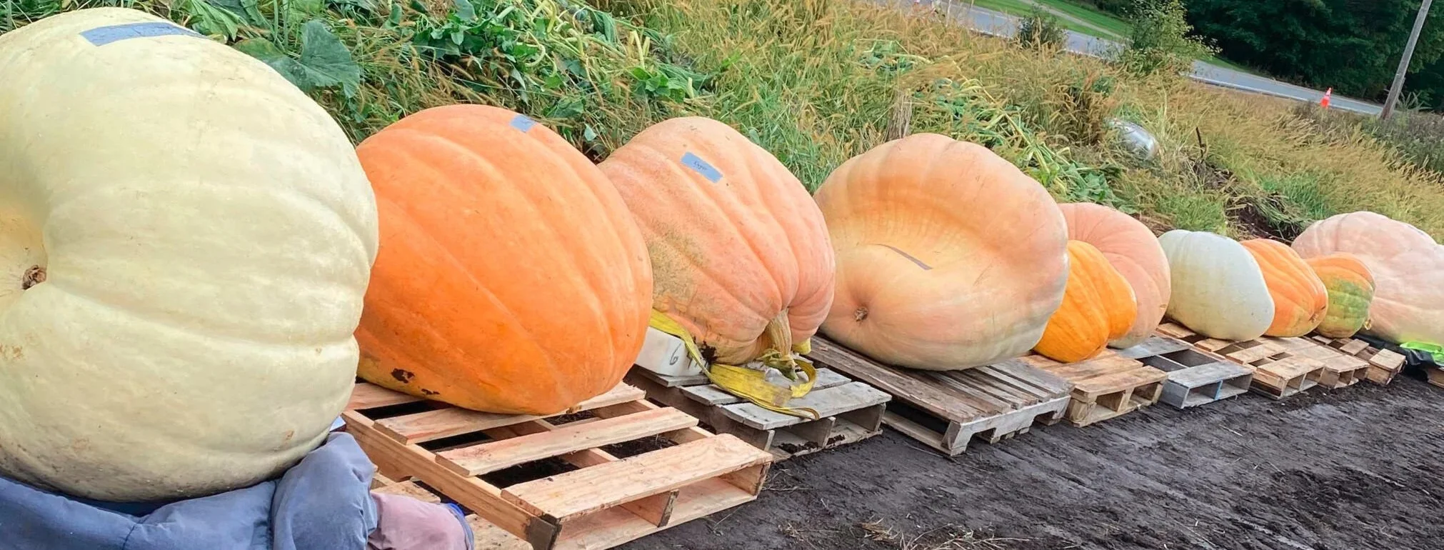
Our map is always evolving, check back to see what’s happening. We will include events sites, parking lots, bus stops, bathrooms, first aid and after deployment the location of all the decorated pumpkins. Click on any of the numbered pumpkin locations to view photos of the decorated pumpkins/artist/grower and sponsors. If you would like to look at the pumpkins from past festivals click on the Interactive Map Archive below.